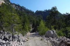
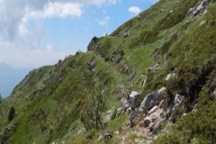
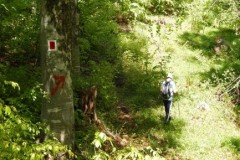
From the settlement of Amarantos Baths, a beautiful hiking route begins to the “Kamenik” peak of Grammos. This route is about 8 kilometers long and for the most part it moves between the forested slopes of the mountain. Our route starts from the settlement of Amarantos baths, which is located a little above the village at an altitude of about 1250 meters. From there we follow the dirt road at the beginning of which there is a relevant sign. For several kilometers we go uphill walking on the forest road. At intervals along our route we come across traces of the old path (there is a relevant sign) and if we follow it, it leads us a little faster to our goal.
These detours are short and we quickly return to the dirt road again, but following the path one is given the opportunity to see some beautiful areas that the road bypasses.
After traveling a little more than 5 kilometers and reaching an altitude of about 1550 meters, we now definitively leave our dirt road and enter the path, as indicated by the relevant sign.
From this point onwards, our uphill course becomes more intense.
Initially the path is quite distinct and very well marked, but gradually and as we approach the Alpine zone it becomes quite unclear. The rich vegetation of the area “chokes” the passage and locating our route becomes quite difficult.
Fortunately, however, there are signs and with enough searching in the branches we find our way.
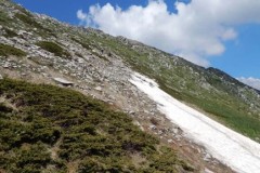
The situation changes when we leave the forest and come out into the clearing. There, finding the path that goes up to the top is a much easier task.
We follow it and a few meters before we reach our goal, our route intersects with another pass that also approaches the top, but it comes from a different point.
We continue our course and climb towards the top.
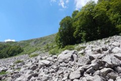
As we get closer, we come across more and more remains of old military fortifications, barbed wire, etc.
We are now on the border with neighboring Albania and a “pyramid” on our way reminds us of that. You can clearly see the letter “E” engraved on the side that “looks” towards Greece and the “A” towards the Albanian side.
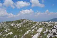
Reaching the top after a walk of about 3 hours, the first thing that catches our attention is the ruins of the old military outpost that used to be there.
But also the view towards the surrounding area is wonderful, especially towards the area of Smolikas, Tymfi as well as towards the Northern Epirus side.

