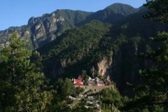
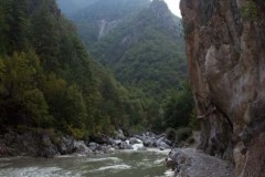
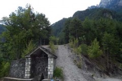
The route starts from the stone bridge of Konitsa. After the Stomio Monastery (2 hours from the starting point) you follow a narrow dirt road for about 35 minutes, where you reach a typical ravine (Desi location).
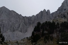
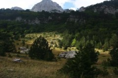
You cross the ravine and right on the opposite slope you follow a serpentine well-marked path, which in 1.30 hours takes you to the Kalogeriko pass at an altitude of 1350m. Continue this path in an easterly direction and in about 45 minutes you will reach a large and imposing plateau, the “Siadi Mygas”, over which the great peak of Gamila (2497m) dominates.
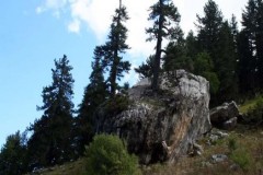
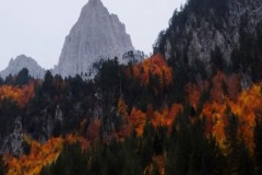
The entire route takes place in dense vegetation with black pines or firs and beeches. From the location “Siadi Mygas” trails for experienced climbers lead:
- in a south-southeast direction through a beech forest and amazing Heldreich’s pines to the Karteros pass (2300m) and from there to the subalpine plateaus and Gamila peak (2497m).
- in an east-southeast direction and through beeches and Heldreich’s pines to the gap (1800m) between Avalos and Limeria Klefton and then to Loutsa Goustera (1650m) and from there either to the subalpine plateaus, the Tsouka Rossa gap (2300m) and the villages of Skamneli and Tsepelovo or towards the village of Vrysochori through beautiful beech and black pine forests.
Degree of difficulty: moderate. Travel time: 5 hours. Marking: marking with signs in yellow-black color. Altitude gradient: 450m- 1550m.

