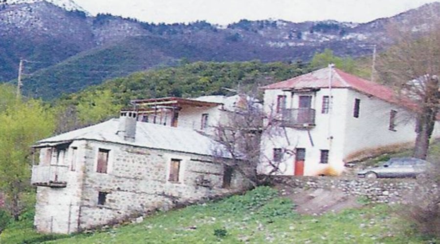
At a distance of 18 km from Konitsa, on the southern slopes of the peak “Tsouka-Koula” (altitude 1529 m) and at an altitude of 880 m, is the old settlement of Kleidonia. Today the settlement is officially mentioned as Ano Kleidonia, while a century ago it was called “Litouniavista” or “Kleidoniavista” and belonged to Zagorochoria villages.
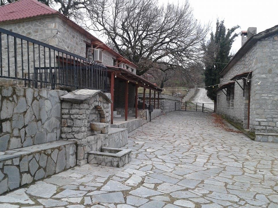
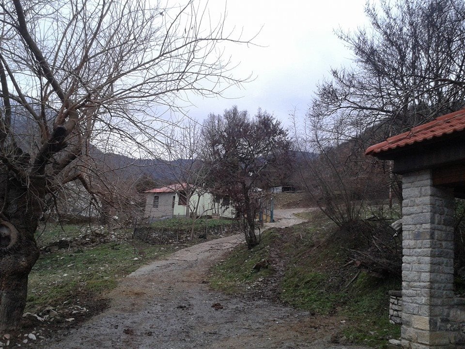
Below the hill of Chondrovouni (which is the southernmost end of the Grammos mountain range) and at an altitude of 600 m, it is built the village of Pixaria. It is located on the border of Greece with Albania and it is north of the Sarandaporos river. It is 80 km North-Northwest of Ioannina and 17.5 km from Konitsa.
The old name of the village was Belthouki. The current name Pixaria comes from the boxwood shrubs, kermes oak, oak and arbutus that cover the whole area.
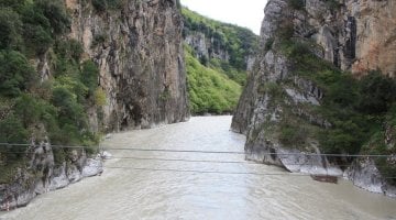
Heading to the south of the village and next to Sarandaporos river (in the location “Stena Sarandaporou”) there is the gorge of the homonymous river. It is between the villages of Kavasila, Exochi and Pixaria. You will be impressed by the vertical walls, whose height sometimes exceeds 150 meters, while the Mediterranean riparian vegetation does not go unnoticed. The length reaches almost 1 km.
The hot baths (located just below the village) are interesting. The visitor is impressed by the phenomenon of hot water coming out of the bowels of the earth and after a short course ending directly in the adjacent Sarandaporos river. The baths of Pixaria today are unexploited.
Also, a special place of interest is the chapel of Prophet Elias with a nice view to the baths of Kavasila and Sarandaporos. Other small chapels that are scattered around the village are: Agia Paraskevi, Agia Kiriaki, Agios Minas and Panagia in Sarandaporos.


